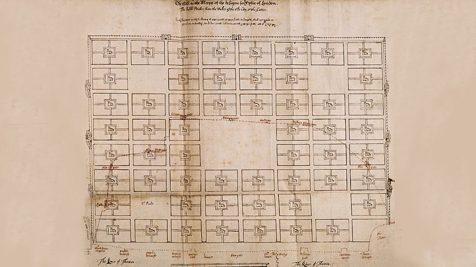
> "A series of public squares, and in the middle of each one a church and churchyard. It can be extended over and over again - it's a perfect grid plan"
Wow - I have been extensively mapping Senegal on Openstreetmap and this is a typical pattern there - only with mosque !
I just like Senegal and I have quite a few Senegalese friends in Paris. My Openstreetmap activity there started with cycling there with no usable maps at all in 2008... Some time after coming back I discovered OSM and began making the maps I would have liked to have - also it was a way to remain connected to Senegal. A few years later, with almost 400k changes in 750 commits, Senegal has turned into the main nexus of my mapping activity and I'm now in touch with some of the local mappers. Open JOSM and look at the changelog of just about every object in the Dakar region and you'll likely find my name in half of them !
I'll be in Dakar at the end of the month by the way, for a couple of week with four of my daughters and I intend to join some OSM meetups there.
Did you mean "New England", like the US Northeast? Because as a lifelong New Englander, I find that a terrible inaccurate statement. There's a Town Common (if it hasn't been converted into a parking lot!) and then cow paths radiating out from there.
Wow - I have been extensively mapping Senegal on Openstreetmap and this is a typical pattern there - only with mosque !